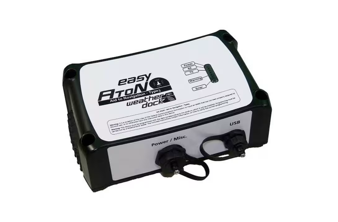


This transponder makes it possible to electronically mark channel boundaries or harbor entrances without having to install physical buoys at every position. The principle is simple: from a fixed location, the device transmits the coordinates of virtual navigation marks, which appear directly on AIS-compatible chartplotters and navigation software. Up to 32 positions can be managed simultaneously, whether they represent real, synthetic or entirely virtual aids to navigation.
Designed primarily for port authorities and waterway managers, the easyAtoN Type 3 can also transmit information about the status of aids to navigation, along with sensor data. Equipped with an integrated GNSS receiver, featuring low power consumption and protected against water and dust (IP67), the device makes it possible to adapt or supplement existing navigation marks without multiplying the number of physical installations at sea.
An interesting solution for improving navigational safety, provided, of course, that you have a compatible AIS display on board.